Project Details
Here are some of my favorite maps from my #30DayMappingChallenge!
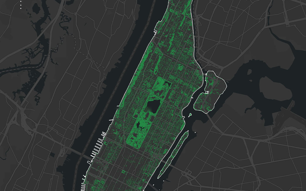
The New York City TreesCount! 2015-2016 Street Tree Census is a comprehensive resource created by NYC and citizen mappers to create a spatially accurate digital inventory of NYC’s street trees, including information like tree species, diameter, and perception of health. I visualized some of that information using tools like ArcGIS, and R and post-processing using Adobe Illustrator. This was an interesting exercise that revealed spatial relationships between tree densities and neighborhood characteristics.
This project was completed as part of the 2023 Mapping Challenge.